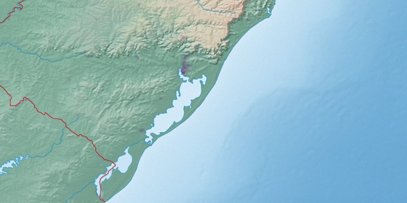
Ilhota da Ponta Escura, (island) is located in Rio Grande do Sul, in Brazil (America). It is placed in GMT-3 time zone with current time of 09:55 AM, Thursday. Offset from your time zone: minutes.
| Latitude | 

|
|
| decimal | -30.38333 | |
| DMS | 30° 22' 59.988" S | |
| Distances from | ||
| North pole | 13385.4 km | |
| Equator | 3378.3 km | |
| South pole | 6628.8 km | |
| Longitude | 
|
|
| decimal | -51.1 | |
| DMS | 51° 6' 0" W | |
| Distance from prime meridian: 4857.4 km to West |
||
List of nearest places sort by population
Porto Alegre 40.9 km 342°
342° 351°
351° 12°11°
 355°
355° 0°
0° 324°352°
 221°
221° 76°
76°

Marker is showing location of Ilhota da Ponta Escura on map(s). You can click on marker if you want to hide it.
 T: 0.01332 s.
2026 © Location.zone | Terms of use | Contact
 30°
30° 43°
43° 24°
24° 259°
259° 268°
268° 292°
292°