Serra da Cinta, (mountain) is located in Maranhão, in Brazil (America). It is placed in GMT-3 time zone with current time of 03:00 PM, Thursday. Offset from your time zone: minutes.
| Latitude | 

|
|
| decimal | -6.45276 | |
| DMS | 6° 27' 9.936" S | |
| Distances from | ||
| North pole | 10724.5 km | |
| Equator | 717.5 km | |
| South pole | 9289.6 km | |
| Longitude | 
|
|
| decimal | -46.727 | |
| DMS | 46° 43' 37.2" W | |
| Distance from prime meridian: 5160.7 km to West |
||
List of nearest places sort by population
Imperatriz 133.3 km 320°
320° 147°
147° 42°
42° 202°
202° 219°
219° 279°
279° 173°
173° 156°
156° 359°
359° 331°
331°

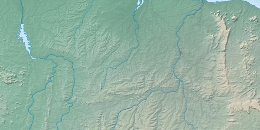
Marker is showing location of Serra da Cinta on map(s). You can click on marker if you want to hide it.
 T: 0.01049 s.
2026 © Location.zone | Terms of use | Contact
 179°
179° 128°
128° 71°
71° 187°
187° 97°
97° 340°
340° 34°
34° 48°
48° 259°
259°