Serra de Irará, (mountain) is located in Mato Grosso, in Brazil (America). It is placed in GMT-4 time zone with current time of 06:45 AM, Thursday. Offset from your time zone: minutes.
| Latitude | 

|
|
| decimal | -16.64175 | |
| DMS | 16° 38' 30.3" S | |
| Distances from | ||
| North pole | 11857.5 km | |
| Equator | 1850.4 km | |
| South pole | 8156.7 km | |
| Longitude | 
|
|
| decimal | -53.15051 | |
| DMS | 53° 9' 1.836" W | |
| Distance from prime meridian: 5644.2 km to West |
||
List of nearest places sort by population
Rondonópolis 159.4 km 276°
276° 48°
48° 148°49°
 304°
304° 103°296°
 80°
80° 185°147°

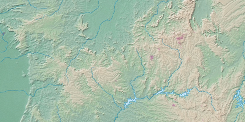
Marker is showing location of Serra de Irará on map(s). You can click on marker if you want to hide it.
 T: 0.01048 s.
2026 © Location.zone | Terms of use | Contact
 138°
138° 123°
123° 110°
110° 157°
157° 333°
333° 64°
64° 16°
16° 223°
223° 34°
34° 40°
40° 262°
262° 288°
288°