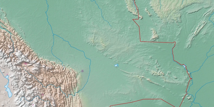
Serra do Aguapeí, (mountain) is located in Mato Grosso, in Brazil (America). It is placed in GMT-4 time zone with current time of 05:34 AM, Thursday. Offset from your time zone: minutes.
| Latitude | 

|
|
| decimal | -16.08333 | |
| DMS | 16° 4' 59.988" S | |
| Distances from | ||
| North pole | 11795.4 km | |
| Equator | 1788.3 km | |
| South pole | 8218.8 km | |
| Longitude | 
|
|
| decimal | -59.41667 | |
| DMS | 59° 25' 0.012" W | |
| Distance from prime meridian: 6323.7 km to West |
||
List of nearest places sort by population
Cuiabá 359.2 km 81°82°
 64°
64° 5°
5° 93°57°
 66°57°56°86°

Marker is showing location of Serra do Aguapeí on map(s). You can click on marker if you want to hide it.
 T: 0.01079 s.
2026 © Location.zone | Terms of use | Contact
 121°
121° 114°
114° 104°
104° 134°
134° 357°
357° 36°
36° 210°
210° 49°
49° 262°
262° 288°
288°