Serra do Ingá, (mountain) is located in Rio Grande do Norte, in Brazil (America). It is placed in GMT-3 time zone with current time of 01:40 PM, Thursday. Offset from your time zone: minutes.
| Latitude | 

|
|
| decimal | -5.9575 | |
| DMS | 5° 57' 27" S | |
| Distances from | ||
| North pole | 10669.5 km | |
| Equator | 662.4 km | |
| South pole | 9344.7 km | |
| Longitude | 
|
|
| decimal | -36.23389 | |
| DMS | 36° 14' 2.004" W | |
| Distance from prime meridian: 4006.3 km to West |
||
List of nearest places sort by population
Currais Novos 46.1 km 222°
222° 142°
142° 82°
82° 119°
119° 270°
270° 308°
308° 315°
315° 95°
95° 240°
240° 231°
231°

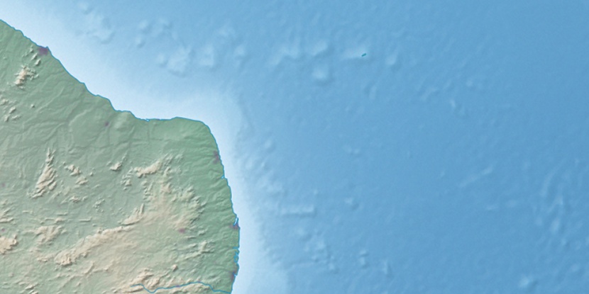
Marker is showing location of Serra do Ingá on map(s). You can click on marker if you want to hide it.
 T: 0.01043 s.
2026 © Location.zone | Terms of use | Contact
 209°
209° 201°
201° 276°
276° 147°
147° 290°
290° 28°
28° 36°
36° 45°
45° 260°
260°