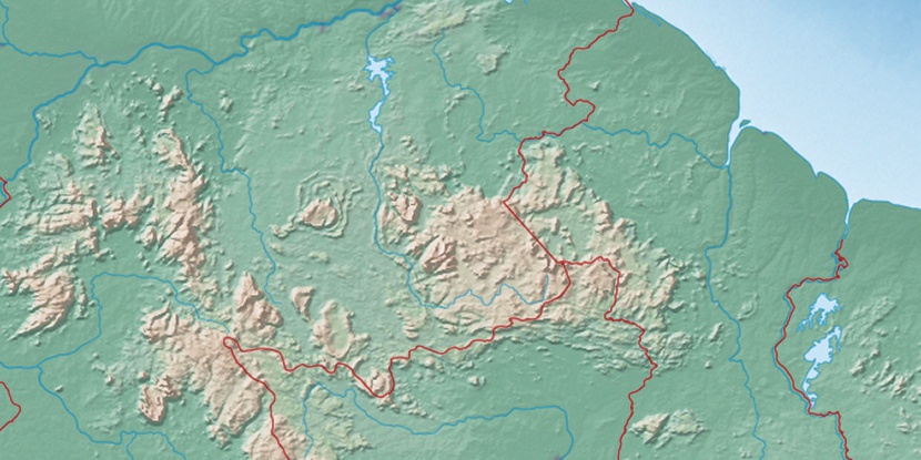
Serra Sapã, (mountain) is located in Roraima, in Brazil (America). It is placed in GMT-4 time zone with current time of 08:44 AM, Thursday. Offset from your time zone: minutes.
| Latitude | 

|
|
| decimal | 4.25 | |
| DMS | 4° 15' 0" N | |
| Distances from | ||
| North pole | 9534.5 km | |
| Equator | 472.6 km | |
| South pole | 10479.6 km | |
| Longitude | 
|
|
| decimal | -61.33333 | |
| DMS | 61° 19' 59.988" W | |
| Distance from prime meridian: 6798.9 km to West |
||
List of nearest places sort by population
Manaus 830.3 km 169°
169° 155°174°166°
 232°171°
 196°168°
 213°
213° 218°
218°

Marker is showing location of Serra Sapã on map(s). You can click on marker if you want to hide it.
 T: 0.01 s.
2026 © Location.zone | Terms of use | Contact
 152°
152° 127°
127° 109°
109° 144°
144° 193°
193° 47°
47° 57°
57° 282°
282° 254°
254°