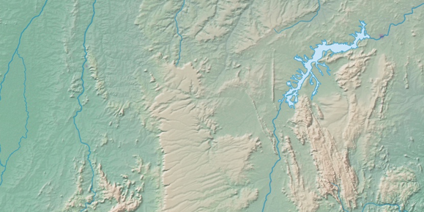
Serra da Mangabeira, (mountains) is located in Bahia, in Brazil (America). It is placed in GMT-3 time zone with current time of 07:22 PM, Thursday. Offset from your time zone: minutes.
| Latitude | 

|
|
| decimal | -12.5 | |
| DMS | 12° 30' 0" S | |
| Distances from | ||
| North pole | 11396.9 km | |
| Equator | 1389.9 km | |
| South pole | 8617.2 km | |
| Longitude | 
|
|
| decimal | -42.25 | |
| DMS | 42° 15' 0" W | |
| Distance from prime meridian: 4581.3 km to West |
||
List of nearest places sort by population
Seabra 52.9 km 79°
79° 220°
220° 15°24°
 29°
29° 258°
258° 235°
235° 286°
286° 67°
67° 296°
296°

Marker is showing location of Serra da Mangabeira on map(s). You can click on marker if you want to hide it.
 T: 0.00956 s.
2026 © Location.zone | Terms of use | Contact
 200°
200° 185°
185° 97°
97° 207°
207° 58°
58° 330°
330° 231°
231° 36°
36°