Serra do Seringa, (mountains) is located in Pará, in Brazil (America). It is placed in GMT-3 time zone with current time of 08:45 AM, Thursday. Offset from your time zone: minutes.
| Latitude | 

|
|
| decimal | -6.90521 | |
| DMS | 6° 54' 18.756" S | |
| Distances from | ||
| North pole | 10774.8 km | |
| Equator | 767.8 km | |
| South pole | 9239.3 km | |
| Longitude | 
|
|
| decimal | -50.87432 | |
| DMS | 50° 52' 27.552" W | |
| Distance from prime meridian: 5612.8 km to West |
||
List of nearest places sort by population
Imperatriz 404.1 km 67°
67° 48°
48° 96°
96° 20°
20° 130°
130° 40°
40° 283°97°
 80°77°

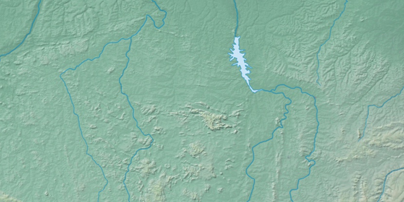
Marker is showing location of Serra do Seringa on map(s). You can click on marker if you want to hide it.
 T: 0.01002 s.
2026 © Location.zone | Terms of use | Contact
 166°
166° 155°
155° 116°
116° 152°
152° 175°
175° 292°
292° 94°
94° 214°
214° 259°
259°