Ilha do Andrade, (peninsula) is located in Maranhão, in Brazil (America). It is placed in GMT-3 time zone with current time of 07:45 AM, Thursday. Offset from your time zone: minutes.
| Latitude | 

|
|
| decimal | -1.33333 | |
| DMS | 1° 19' 59.988" S | |
| Distances from | ||
| North pole | 10155.3 km | |
| Equator | 148.3 km | |
| South pole | 9858.8 km | |
| Longitude | 
|
|
| decimal | -45.45 | |
| DMS | 45° 27' 0" W | |
| Distance from prime meridian: 5052.1 km to West |
||
List of nearest places sort by population
Pinheiro 138.3 km 162°
162° 130°
130° 281°284°
 170°
170° 215°283°166°
 246°
246° 149°
149°

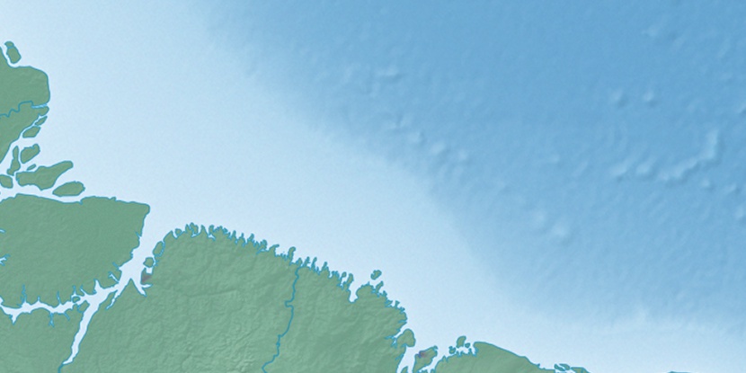
Marker is showing location of Ilha do Andrade on map(s). You can click on marker if you want to hide it.
 T: 0.00911 s.
2026 © Location.zone | Terms of use | Contact
 182°
182° 109°
109° 189°
189° 263°
263° 122°
122° 267°
267° 36°
36° 50°
50°