Base Aérea do Amapá, (populated place) is located in Amapá, in Brazil (America). It is placed in GMT-3 time zone with current time of 12:47 PM, Thursday. Offset from your time zone: minutes.
| Latitude | 

|
|
| decimal | 2.06667 | |
| DMS | 2° 4' 0.012" N | |
| Distances from | ||
| North pole | 9777.3 km | |
| Equator | 229.8 km | |
| South pole | 10236.9 km | |
| Longitude | 
|
|
| decimal | -50.86667 | |
| DMS | 50° 52' 0.012" W | |
| Distance from prime meridian: 5651.9 km to West |
||
List of nearest places sort by population
Macapá 226.6 km 185°188°
 174°
174° 205°
205° 139°
139° 160°155°167°190°192°

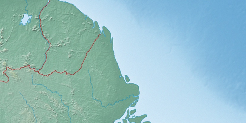
Marker is showing location of Base Aérea do Amapá on map(s). You can click on marker if you want to hide it.
 T: 0.00923 s.
2026 © Location.zone | Terms of use | Contact
 115°
115° 176°
176° 240°
240° 146°
146° 41°
41° 47°
47° 282°
282° 256°
256°