Umarituba, (populated place) is located in Amazonas, in Brazil (America). It is placed in GMT-4 time zone with current time of 09:07 AM, Friday. Offset from your time zone: minutes.
| Latitude | 

|
|
| decimal | 1.80368 | |
| DMS | 1° 48' 13.248" N | |
| Distances from | ||
| North pole | 9806.5 km | |
| Equator | 200.6 km | |
| South pole | 10207.6 km | |
| Longitude | 
|
|
| decimal | -67.65177 | |
| DMS | 67° 39' 6.372" W | |
| Distance from prime meridian: 7517.9 km to West |
||
List of nearest places sort by population
Fonte Boa 510.4 km 160°163°
 193°
193° 183°
183° 120°
120° 150°181°147°
 130°152°

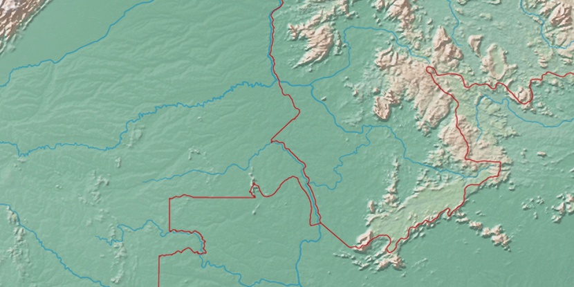
Marker is showing location of Umarituba on map(s). You can click on marker if you want to hide it.
 T: 0.01299 s.
2026 © Location.zone | Terms of use | Contact
 141°
141° 100°
100° 106°
106° 49°
49° 58°
58° 254°
254° 283°
283°