Santa Rosa, (populated place) is located in Ceará, in Brazil (America). It is placed in GMT-3 time zone with current time of 01:28 PM, Tuesday. Offset from your time zone: minutes.
| Latitude | 

|
|
| decimal | -3.53333 | |
| DMS | 3° 31' 59.988" S | |
| Distances from | ||
| North pole | 10399.9 km | |
| Equator | 392.9 km | |
| South pole | 9614.2 km | |
| Longitude | 
|
|
| decimal | -40.41667 | |
| DMS | 40° 25' 0.012" W | |
| Distance from prime meridian: 4485 km to West |
||
List of nearest places sort by population
Sobral 18.5 km 156°
156° 250°
250° 315°
315° 70°
70° 33°
33° 237°
237° 149°27°
 270°
270° 187°
187°

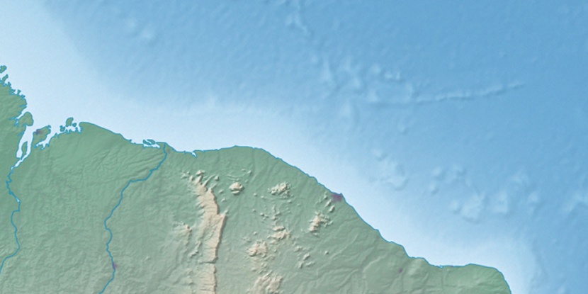
Marker is showing location of Santa Rosa on map(s). You can click on marker if you want to hide it.
 T: 0.01673 s.
2026 © Location.zone | Terms of use | Contact
 196°
196° 168°
168° 95°
95° 211°
211° 129°
129° 284°
284° 223°
223° 39°
39° 47°
47° 259°
259°