Tamanduá, (populated place) is located in Ceará, in Brazil (America). It is placed in GMT-3 time zone with current time of 04:58 PM, Tuesday. Offset from your time zone: minutes.
| Latitude | 

|
|
| decimal | -3.81667 | |
| DMS | 3° 49' 0.012" S | |
| Distances from | ||
| North pole | 10431.4 km | |
| Equator | 424.4 km | |
| South pole | 9582.7 km | |
| Longitude | 
|
|
| decimal | -40.26667 | |
| DMS | 40° 16' 0.012" W | |
| Distance from prime meridian: 4466.9 km to West |
||
List of nearest places sort by population
Sobral 17.2 km 327°
327° 167°
167° 233°
233° 209°
209° 8°
8° 18°
18° 81°
81° 306°
306° 224°
224° 237°
237°

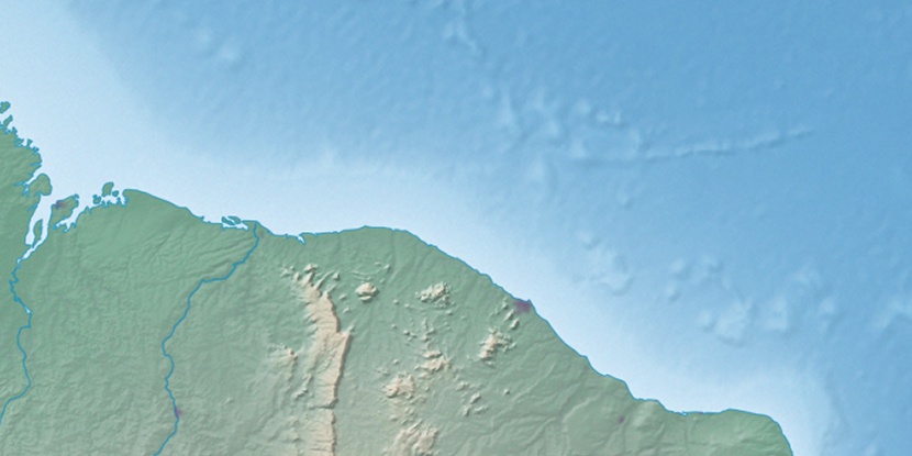
Marker is showing location of Tamanduá on map(s). You can click on marker if you want to hide it.
 T: 0.01633 s.
2026 © Location.zone | Terms of use | Contact
 197°
197° 188°
188° 86°
86° 272°
272° 128°
128° 286°
286° 32°
32° 39°
39° 47°
47° 259°
259°