Barra do Ingá, (populated place) is located in Maranhão, in Brazil (America). It is placed in GMT-3 time zone with current time of 03:57 PM, Thursday. Offset from your time zone: minutes.
| Latitude | 

|
|
| decimal | -5.51667 | |
| DMS | 5° 31' 0.012" S | |
| Distances from | ||
| North pole | 10620.5 km | |
| Equator | 613.4 km | |
| South pole | 9393.7 km | |
| Longitude | 
|
|
| decimal | -43 | |
| DMS | 43° 0' 0" W | |
| Distance from prime meridian: 4757.9 km to West |
||
List of nearest places sort by population
Teresina 52.3 km 24°21°
 223°
223° 63°
63° 136°
136° 209°
209° 145°
145° 83°
83° 96°
96° 187°
187°

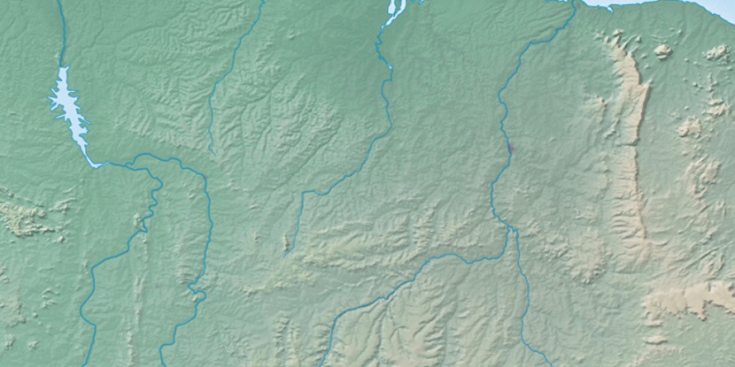
Marker is showing location of Barra do Ingá on map(s). You can click on marker if you want to hide it.
 T: 0.01426 s.
2026 © Location.zone | Terms of use | Contact
 180°
180° 67°
67° 196°
196° 278°
278° 107°
107° 306°
306° 33°
33° 39°
39° 47°
47° 259°
259°