São Bento, (populated place) is located in Maranhão, in Brazil (America). It is placed in GMT-3 time zone with current time of 09:29 PM, Thursday. Offset from your time zone: minutes.
| Latitude | 

|
|
| decimal | -5.83333 | |
| DMS | 5° 49' 59.988" S | |
| Distances from | ||
| North pole | 10655.7 km | |
| Equator | 648.6 km | |
| South pole | 9358.5 km | |
| Longitude | 
|
|
| decimal | -47.11667 | |
| DMS | 47° 7' 0.012" W | |
| Distance from prime meridian: 5210.1 km to West |
||
List of nearest places sort by population
Imperatriz 53.7 km 309°
309° 218°
218° 89°
89° 192°
192° 209°
209° 248°
248° 162°
162° 151°
151° 54°90°

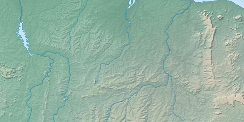
Marker is showing location of São Bento on map(s). You can click on marker if you want to hide it.
 T: 0.01448 s.
2026 © Location.zone | Terms of use | Contact
 178°
178° 167°
167° 130°
130° 76°
76° 281°
281° 100°
100° 342°
342° 35°
35° 259°
259°