Santo Amaro, (populated place) is located in Mato Grosso do Sul, in Brazil (America). It is placed in GMT-4 time zone with current time of 11:53 AM, Thursday. Offset from your time zone: minutes.
| Latitude | 

|
|
| decimal | -21.71667 | |
| DMS | 21° 43' 0.012" S | |
| Distances from | ||
| North pole | 12421.7 km | |
| Equator | 2414.7 km | |
| South pole | 7592.4 km | |
| Longitude | 
|
|
| decimal | -56.58333 | |
| DMS | 56° 34' 59.988" W | |
| Distance from prime meridian: 5809.5 km to West |
||
List of nearest places sort by population
Ponta Porã 126.9 km 135°
135° 30°
30° 60°
60° 85°30°
 171°
171° 9°7°
9°7° 270°59°

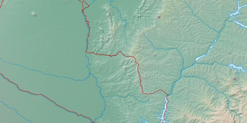
Marker is showing location of Santo Amaro on map(s). You can click on marker if you want to hide it.
 T: 0.01258 s.
2026 © Location.zone | Terms of use | Contact
 101°
101° 44°
44° 81°
81° 54°
54° 118°
118° 349°
349° 21°
21° 226°
226° 264°
264° 290°
290°