Chapada dos Guimarães, (populated place) is located in Mato Grosso, in Brazil (America). It is placed in GMT-4 time zone with current time of 09:01 AM, Thursday. Offset from your time zone: minutes.
| Latitude | 

|
|
| decimal | -15.46056 | |
| DMS | 15° 27' 38.016" S | |
| Distances from | ||
| North pole | 11726.1 km | |
| Equator | 1719.1 km | |
| South pole | 8288 km | |
| Longitude | 
|
|
| decimal | -55.74972 | |
| DMS | 55° 44' 58.992" W | |
| Distance from prime meridian: 5956.1 km to West |
||
List of nearest places sort by population
Cuiabá 40.1 km 247°
247° 243°
243° 191°
191° 123°
123° 226°
226° 327°
327° 322°
322° 313°
313° 217°
217° 195°
195°

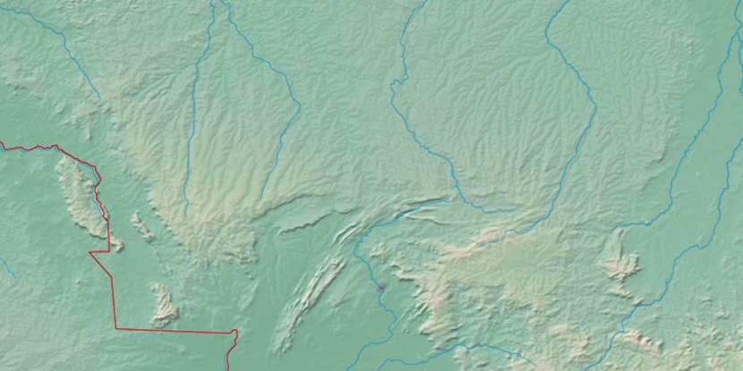
Marker is showing location of Chapada dos Guimarães on map(s). You can click on marker if you want to hide it.
 T: 0.01094 s.
2026 © Location.zone | Terms of use | Contact
 133°
133° 81°
81° 55°
55° 111°
111° 92°
92° 148°
148° 341°
341° 70°
70° 27°
27° 36°
36° 48°
48° 262°
262° 288°
288°