Santa Anita, (populated place) is located in Mato Grosso, in Brazil (America). It is placed in GMT-4 time zone with current time of 12:15 PM, Thursday. Offset from your time zone: minutes.
| Latitude | 

|
|
| decimal | -15.4 | |
| DMS | 15° 24' 0" S | |
| Distances from | ||
| North pole | 11719.4 km | |
| Equator | 1712.3 km | |
| South pole | 8294.7 km | |
| Longitude | 
|
|
| decimal | -60.26667 | |
| DMS | 60° 16' 0.012" W | |
| Distance from prime meridian: 6437 km to West |
||
List of nearest places sort by population
Vilhena 296 km 2°
2° 319°
319° 83°79°
 103°78°
 74°81°74°73°

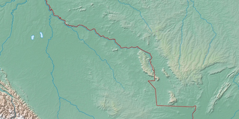
Marker is showing location of Santa Anita on map(s). You can click on marker if you want to hide it.
 T: 0.01078 s.
2026 © Location.zone | Terms of use | Contact
 122°
122° 114°
114° 61°
61° 91°
91° 134°
134° 39°
39° 207°
207° 49°
49° 262°
262° 288°
288°