Araçulândia, (populated place) is located in Pará, in Brazil (America). It is placed in GMT-3 time zone with current time of 11:36 AM, Thursday. Offset from your time zone: minutes.
| Latitude | 

|
|
| decimal | -7.10139 | |
| DMS | 7° 6' 5.004" S | |
| Distances from | ||
| North pole | 10796.7 km | |
| Equator | 789.6 km | |
| South pole | 9217.5 km | |
| Longitude | 
|
|
| decimal | -48.12819 | |
| DMS | 48° 7' 41.484" W | |
| Distance from prime meridian: 5307.7 km to West |
||
List of nearest places sort by population
Imperatriz 188.7 km 21°
21° 221°224°
 120°
120° 109°
109° 43°
43° 328°
328° 99°
99° 87°39°

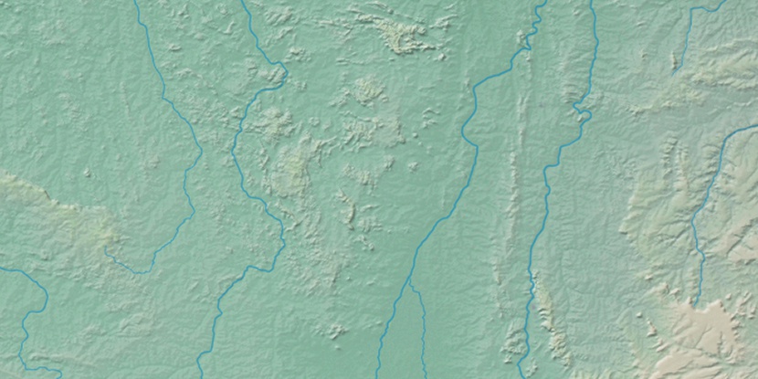
Marker is showing location of Araçulândia on map(s). You can click on marker if you want to hide it.
 T: 0.01132 s.
2026 © Location.zone | Terms of use | Contact
 175°
175° 163°
163° 70°
70° 288°
288° 356°
356° 48°
48° 259°
259° 284°
284°