Dacabi, (populated place) is located in Roraima, in Brazil (America). It is placed in GMT-4 time zone with current time of 10:19 AM, Thursday. Offset from your time zone: minutes.
| Latitude | 

|
|
| decimal | 3.53333 | |
| DMS | 3° 31' 59.988" N | |
| Distances from | ||
| North pole | 9614.2 km | |
| Equator | 392.9 km | |
| South pole | 10399.9 km | |
| Longitude | 
|
|
| decimal | -60.38333 | |
| DMS | 60° 22' 59.988" W | |
| Distance from prime meridian: 6699.9 km to West |
||
List of nearest places sort by population
Manaus 738.8 km 176°
176° 202°181°
 173°178°
 156°
156° 147°
147° 209°175°
 229°
229°

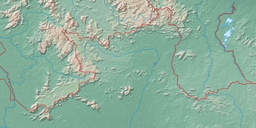
Marker is showing location of Dacabi on map(s). You can click on marker if you want to hide it.
 T: 0.00904 s.
2026 © Location.zone | Terms of use | Contact
 127°
127° 108°
108° 194°
194° 46°
46° 56°
56° 282°
282° 255°
255°