Peba, (populated place) is located in Tocantins, in Brazil (America). It is placed in GMT-3 time zone with current time of 08:15 PM, Thursday. Offset from your time zone: minutes.
| Latitude | 

|
|
| decimal | -7.53333 | |
| DMS | 7° 31' 59.988" S | |
| Distances from | ||
| North pole | 10844.7 km | |
| Equator | 837.6 km | |
| South pole | 9169.4 km | |
| Longitude | 
|
|
| decimal | -48.16667 | |
| DMS | 48° 10' 0.012" W | |
| Distance from prime meridian: 5306.5 km to West |
||
List of nearest places sort by population
Araguaína 38.3 km 353°
353° 89°
89° 236°
236° 96°
96° 74°
74° 32°
32° 341°
341° 83°72°32°

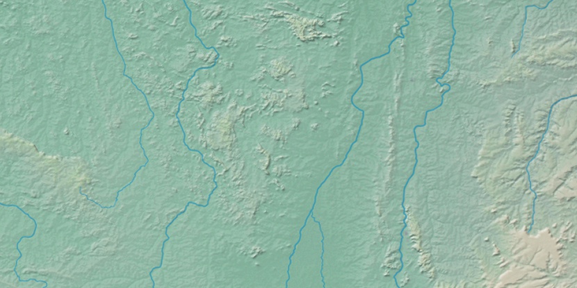
Marker is showing location of Peba on map(s). You can click on marker if you want to hide it.
 T: 0.01005 s.
2026 © Location.zone | Terms of use | Contact
 174°
174° 162°
162° 119°
119° 178°
178° 290°
290° 356°
356° 218°
218° 35°
35° 48°
48° 259°
259° 284°
284°