Santa Teresa, (populated place) is located in Tocantins, in Brazil (America). It is placed in GMT-3 time zone with current time of 09:47 AM, Thursday. Offset from your time zone: minutes.
| Latitude | 

|
|
| decimal | -8.57389 | |
| DMS | 8° 34' 26.004" S | |
| Distances from | ||
| North pole | 10960.4 km | |
| Equator | 953.3 km | |
| South pole | 9053.7 km | |
| Longitude | 
|
|
| decimal | -48.69583 | |
| DMS | 48° 41' 44.988" W | |
| Distance from prime meridian: 5350.1 km to West |
||
List of nearest places sort by population
Palmas 181.7 km 167°
167° 19°
19° 298°
298° 57°
57° 44°
44° 29°
29° 3°59°
3°59° 54°
54° 110°
110°

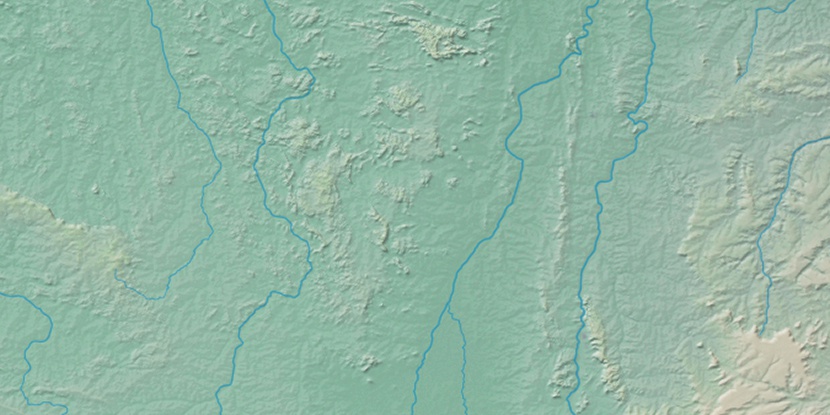
Marker is showing location of Santa Teresa on map(s). You can click on marker if you want to hide it.
 T: 0.01039 s.
2026 © Location.zone | Terms of use | Contact
 159°
159° 181°
181° 87°
87° 219°
219° 260°
260° 285°
285°