Arumanduba, (populated locality) is located in Pará, in Brazil (America). It is placed in GMT-3 time zone with current time of 03:47 PM, Thursday. Offset from your time zone: minutes.
| Latitude | 

|
|
| decimal | -1.46167 | |
| DMS | 1° 27' 42.012" S | |
| Distances from | ||
| North pole | 10169.6 km | |
| Equator | 162.5 km | |
| South pole | 9844.5 km | |
| Longitude | 
|
|
| decimal | -52.455 | |
| DMS | 52° 27' 18" W | |
| Distance from prime meridian: 5830.4 km to West |
||
List of nearest places sort by population
Santana 210.7 km 42°
42° 171°
171° 251°
251° 106°
106° 244°
244° 142°40°251°
 86°
86° 156°
156°

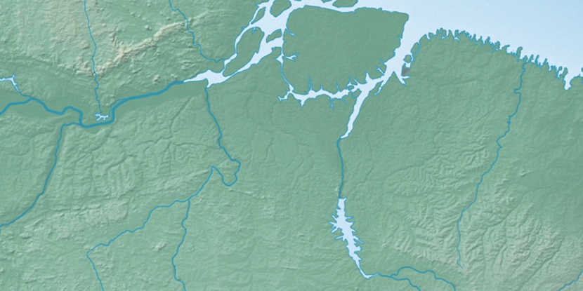
Marker is showing location of Arumanduba on map(s). You can click on marker if you want to hide it.
 T: 0.02562 s.
2026 © Location.zone | Terms of use | Contact
 129°
129° 99°
99° 257°
257° 208°
208° 46°
46° 283°
283°