Curimataí, (populated locality) is located in Minas Gerais, in Brazil (America). It is placed in GMT-3 time zone with current time of 04:55 PM, Thursday. Offset from your time zone: minutes.
| Latitude | 

|
|
| decimal | -17.87278 | |
| DMS | 17° 52' 22.008" S | |
| Distances from | ||
| North pole | 11994.3 km | |
| Equator | 1987.3 km | |
| South pole | 8019.8 km | |
| Longitude | 
|
|
| decimal | -43.95722 | |
| DMS | 43° 57' 25.992" W | |
| Distance from prime meridian: 4640.4 km to West |
||
List of nearest places sort by population
Montes Claros 126.9 km 4°
4° 206°
206° 299°
299° 138°
138° 10°
10° 290°298°
 223°
223° 89°143°

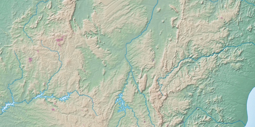
Marker is showing location of Curimataí on map(s). You can click on marker if you want to hide it.
 T: 0.02405 s.
2026 © Location.zone | Terms of use | Contact
 203°
203° 172°
172° 46°
46° 20°
20° 179°
179° 313°
313° 41°
41° 344°
344° 236°
236° 29°
29° 263°
263°