Matamatá, (populated locality) is located in Amazonas, in Brazil (America). It is placed in GMT-4 time zone with current time of 01:23 PM, Thursday. Offset from your time zone: minutes.
| Latitude | 

|
|
| decimal | -4.78333 | |
| DMS | 4° 46' 59.988" S | |
| Distances from | ||
| North pole | 10538.9 km | |
| Equator | 531.9 km | |
| South pole | 9475.2 km | |
| Longitude | 
|
|
| decimal | -66.74 | |
| DMS | 66° 44' 24" W | |
| Distance from prime meridian: 7391.6 km to West |
||
List of nearest places sort by population
Tefé 273.7 km 54°
54° 237°
237° 15°
15° 303°
303° 324°
324° 126°
126° 259°51°
 330°
330° 42°
42°

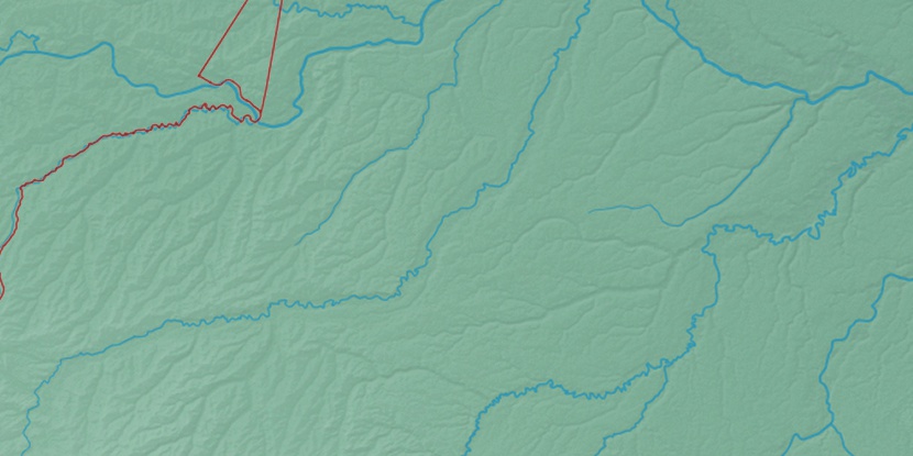
Marker is showing location of Matamatá on map(s). You can click on marker if you want to hide it.
 T: 0.02425 s.
2026 © Location.zone | Terms of use | Contact
 106°
106° 87°
87° 124°
124° 140°
140° 75°
75° 95°
95° 187°
187° 55°
55° 285°
285°