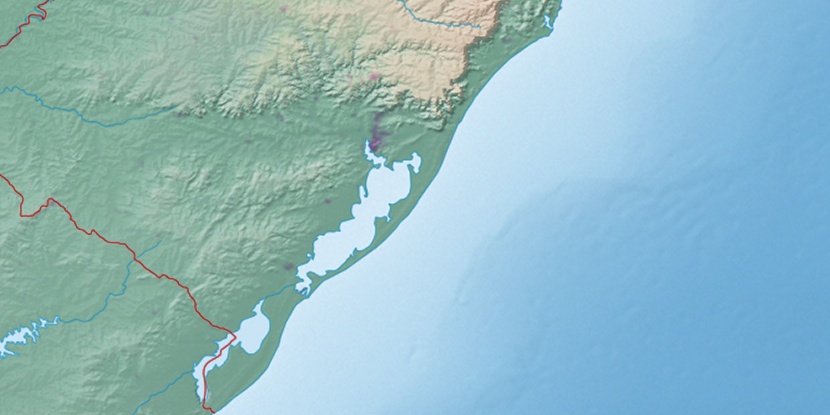
Pega Fogo, (populated locality) is located in Rio Grande do Sul, in Brazil (America). It is placed in GMT-3 time zone with current time of 12:47 PM, Thursday. Offset from your time zone: minutes.
| Latitude | 

|
|
| decimal | -29.72944 | |
| DMS | 29° 43' 45.984" S | |
| Distances from | ||
| North pole | 13312.7 km | |
| Equator | 3305.6 km | |
| South pole | 6701.5 km | |
| Longitude | 
|
|
| decimal | -50.91111 | |
| DMS | 50° 54' 39.996" W | |
| Distance from prime meridian: 4873.5 km to West |
||
List of nearest places sort by population
Novo Hamburgo 21.9 km 285°
285° 198°
198° 261°
261° 243°
243° 317°
317° 33°
33° 55°289°34°28°

Marker is showing location of Pega Fogo on map(s). You can click on marker if you want to hide it.
 T: 0.02378 s.
2026 © Location.zone | Terms of use | Contact
 45°
45° 24°
24° 11°
11° 342°
342° 4°
4° 268°
268° 41°
41°