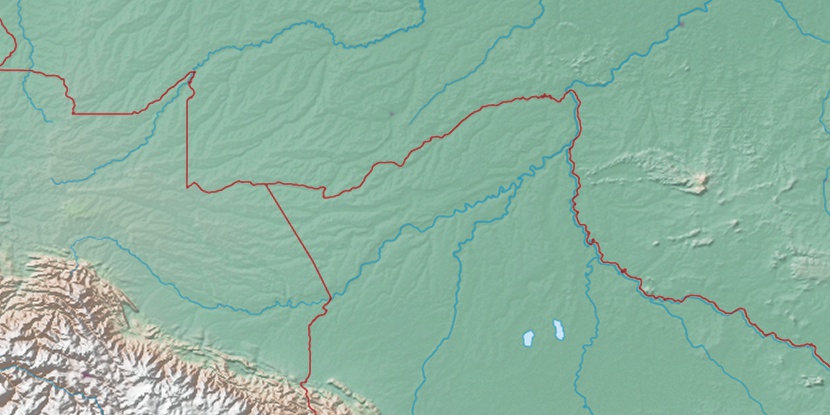
Praia do Amapa, (section of populated place) is located in Acre, in Brazil (America). It is placed in GMT-5 time zone with current time of 11:16 AM, Thursday. Offset from your time zone: minutes.
| Latitude | 

|
|
| decimal | -10.00962 | |
| DMS | 10° 0' 34.632" S | |
| Distances from | ||
| North pole | 11120 km | |
| Equator | 1113 km | |
| South pole | 8894.1 km | |
| Longitude | 
|
|
| decimal | -67.83498 | |
| DMS | 67° 50' 5.928" W | |
| Distance from prime meridian: 7412.6 km to West |
||
List of nearest places sort by population
Rio Branco 4.7 km 35°
35° 107°
107° 318°
318° 18°
18° 116°
116° 145°
145° 221°20°
 225°
225° 309°
309°

Marker is showing location of Praia do Amapa on map(s). You can click on marker if you want to hide it.
 T: 0.01814 s.
2026 © Location.zone | Terms of use | Contact
 95°
95° 77°
77° 131°
131° 48°
48° 86°
86° 66°
66° 186°
186° 259°
259° 287°
287°