Socialista/Jardim Santana, (section of populated place) is located in Rondônia, in Brazil (America). It is placed in GMT-4 time zone with current time of 09:00 AM, Thursday. Offset from your time zone: minutes.
| Latitude | 

|
|
| decimal | -8.74763 | |
| DMS | 8° 44' 51.468" S | |
| Distances from | ||
| North pole | 10979.7 km | |
| Equator | 972.6 km | |
| South pole | 9034.4 km | |
| Longitude | 
|
|
| decimal | -63.82602 | |
| DMS | 63° 49' 33.672" W | |
| Distance from prime meridian: 7004.7 km to West |
||
List of nearest places sort by population
Porto Velho 8.7 km 259°
259° 139°
139° 146°
146° 216°
216° 32°141°
 97°141°142°
 345°
345°

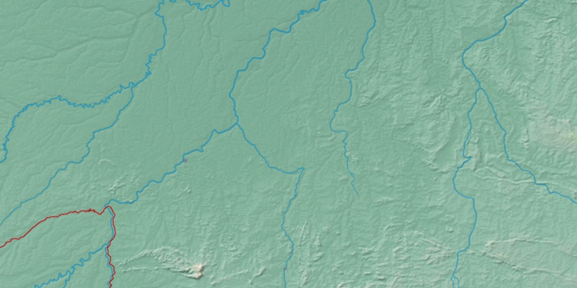
Marker is showing location of Socialista/Jardim Santana on map(s). You can click on marker if you want to hide it.
 T: 0.0184 s.
2026 © Location.zone | Terms of use | Contact
 131°
131° 78°
78° 120°
120° 114°
114° 88°
88° 64°
64° 194°
194° 42°
42° 47°
47° 286°
286°