Taguatinga, (section of populated place) is located in Federal District, in Brazil (America). It is placed in GMT-3 time zone with current time of 11:19 AM, Thursday. Offset from your time zone: minutes.
| Latitude | 

|
|
| decimal | -15.83326 | |
| DMS | 15° 49' 59.736" S | |
| Distances from | ||
| North pole | 11767.6 km | |
| Equator | 1760.5 km | |
| South pole | 8246.6 km | |
| Longitude | 
|
|
| decimal | -48.05506 | |
| DMS | 48° 3' 18.216" W | |
| Distance from prime meridian: 5128.5 km to West |
||
List of nearest places sort by population
Brasília 14.7 km 66°
66° 240°
240° 61°
61° 166°
166° 48°66°
 341°
341° 268°
268° 212°239°

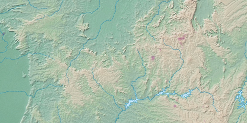
Marker is showing location of Taguatinga on map(s). You can click on marker if you want to hide it.
 T: 0.01852 s.
2026 © Location.zone | Terms of use | Contact
 147°
147° 37°
37° 136°
136° 186°
186° 317°
317° 358°
358° 229°
229° 32°
32° 262°
262° 287°
287°