Serra do Araca State Park, (park) is located in Amazonas, in Brazil (America). It is placed in GMT-4 time zone with current time of 05:35 AM, Thursday. Offset from your time zone: minutes.
| Latitude | 

|
|
| decimal | 1.50899 | |
| DMS | 1° 30' 32.364" N | |
| Distances from | ||
| North pole | 9839.3 km | |
| Equator | 167.8 km | |
| South pole | 10174.8 km | |
| Longitude | 
|
|
| decimal | -63.36077 | |
| DMS | 63° 21' 38.772" W | |
| Distance from prime meridian: 7042.3 km to West |
||
List of nearest places sort by population
Boa Vista 332.3 km 63°
63° 195°
195° 214°
214° 246°
246° 166°170°196°210°
 220°201°

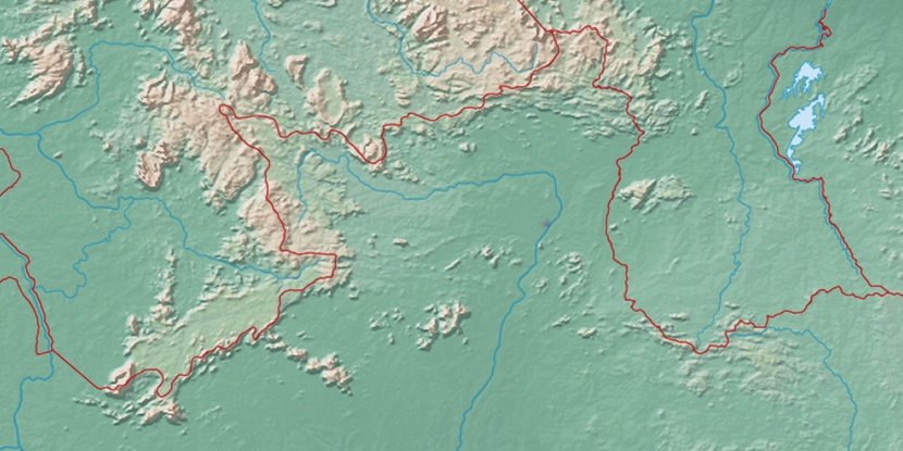
Marker is showing location of Serra do Araca State Park on map(s). You can click on marker if you want to hide it.
 T: 0.00929 s.
2026 © Location.zone | Terms of use | Contact
 146°
146° 141°
141° 120°
120° 101°
101° 108°
108° 191°
191° 47°
47° 255°
255° 283°
283°