Serra de Santa Brígida, (ridge(s)) is located in Tocantins, in Brazil (America). It is placed in GMT-3 time zone with current time of 10:47 AM, Thursday. Offset from your time zone: minutes.
| Latitude | 

|
|
| decimal | -12.61667 | |
| DMS | 12° 37' 0.012" S | |
| Distances from | ||
| North pole | 11409.9 km | |
| Equator | 1402.8 km | |
| South pole | 8604.2 km | |
| Longitude | 
|
|
| decimal | -46.96667 | |
| DMS | 46° 58' 0.012" W | |
| Distance from prime meridian: 5088.8 km to West |
||
List of nearest places sort by population
Barreiras 220.8 km 76°
76° 158°155°
 67°66°
 273°
273° 167°82°
 141°
141° 202°
202°

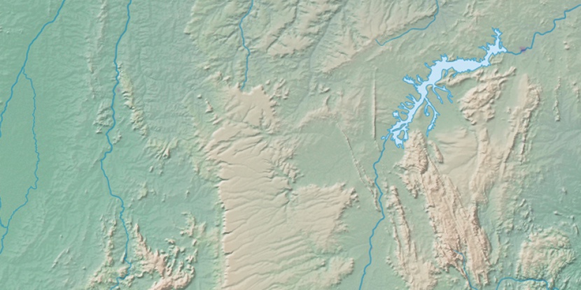
Marker is showing location of Serra de Santa Brígida on map(s). You can click on marker if you want to hide it.
 T: 0.01034 s.
2026 © Location.zone | Terms of use | Contact
 178°
178° 92°
92° 43°
43° 189°
189° 306°
306° 352°
352° 226°
226° 32°
32° 46°
46° 261°
261° 286°
286°