Serra Santa Bárbara, (ridge(s)) is located in Goiás, in Brazil (America). It is placed in GMT-3 time zone with current time of 10:40 AM, Thursday. Offset from your time zone: minutes.
| Latitude | 

|
|
| decimal | -14.82192 | |
| DMS | 14° 49' 18.912" S | |
| Distances from | ||
| North pole | 11655.1 km | |
| Equator | 1648 km | |
| South pole | 8359 km | |
| Longitude | 
|
|
| decimal | -48.807 | |
| DMS | 48° 48' 25.2" W | |
| Distance from prime meridian: 5235.1 km to West |
||
List of nearest places sort by population
Goianésia 64.4 km 211°
211° 312°
312° 43°
43° 237°
237° 250°
250° 124°
124° 259°236°
 215°238°

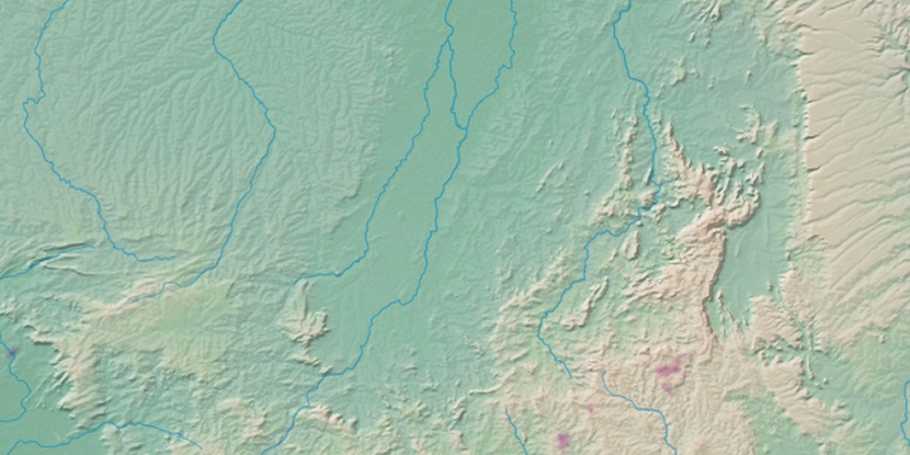
Marker is showing location of Serra Santa Bárbara on map(s). You can click on marker if you want to hide it.
 T: 0.01076 s.
2026 © Location.zone | Terms of use | Contact
 166°
166° 146°
146° 79°
79° 137°
137° 182°
182° 316°
316° 63°
63° 1°
1° 226°
226° 32°
32° 46°
46° 287°
287°