Serra Santa Cruz, (ridge(s)) is located in Tocantins, in Brazil (America). It is placed in GMT-3 time zone with current time of 06:38 AM, Thursday. Offset from your time zone: minutes.
| Latitude | 

|
|
| decimal | -8.26337 | |
| DMS | 8° 15' 48.132" S | |
| Distances from | ||
| North pole | 10925.9 km | |
| Equator | 918.8 km | |
| South pole | 9088.3 km | |
| Longitude | 
|
|
| decimal | -47.25207 | |
| DMS | 47° 15' 7.452" W | |
| Distance from prime meridian: 5196.1 km to West |
||
List of nearest places sort by population
Araguaína 159 km 318°
318° 58°
58° 269°
269° 3°
3° 347°
347° 355°
355° 34°31°
 54°
54° 141°
141°

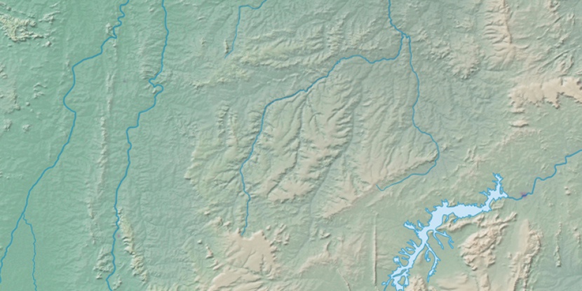
Marker is showing location of Serra Santa Cruz on map(s). You can click on marker if you want to hide it.
 T: 0.01061 s.
2026 © Location.zone | Terms of use | Contact
 177°
177° 165°
165° 118°
118° 164°
164° 185°
185° 292°
292° 89°
89° 220°
220° 40°
40° 260°
260°