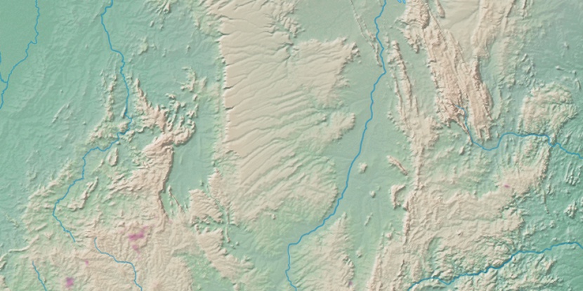
Serra Santana, (ridge(s)) is located in Goiás, in Brazil (America). It is placed in GMT-3 time zone with current time of 10:40 AM, Thursday. Offset from your time zone: minutes.
| Latitude | 

|
|
| decimal | -13.95 | |
| DMS | 13° 57' 0" S | |
| Distances from | ||
| North pole | 11558.2 km | |
| Equator | 1551.1 km | |
| South pole | 8456 km | |
| Longitude | 
|
|
| decimal | -47.55 | |
| DMS | 47° 33' 0" W | |
| Distance from prime meridian: 5122 km to West |
||
List of nearest places sort by population
Planaltina 167.2 km 182°
182° 172°
172° 288°
288° 239°
239° 97°
97° 210°
210° 39°99°
 65°
65° 30°
30°

Marker is showing location of Serra Santana on map(s). You can click on marker if you want to hide it.
 T: 0.00992 s.
2026 © Location.zone | Terms of use | Contact
 155°
155° 83°
83° 149°
149° 191°
191° 311°
311° 64°
64° 355°
355° 227°
227° 46°
46° 262°
262°