Rio São Bartolomeu Environmental Protection Area, (nature reserve) is located in Federal District, in Brazil (America). It is placed in GMT-3 time zone with current time of 06:42 AM, Thursday. Offset from your time zone: minutes.
| Latitude | 

|
|
| decimal | -15.77978 | |
| DMS | 15° 46' 47.208" S | |
| Distances from | ||
| North pole | 11761.6 km | |
| Equator | 1754.5 km | |
| South pole | 8252.5 km | |
| Longitude | 
|
|
| decimal | -47.68719 | |
| DMS | 47° 41' 13.884" W | |
| Distance from prime meridian: 5090.9 km to West |
||
List of nearest places sort by population
Brasília 26 km 270°
270° 12°
12° 208°12°
 54°
54° 127°
127° 176°
176° 82°
82° 316°
316° 246°
246°

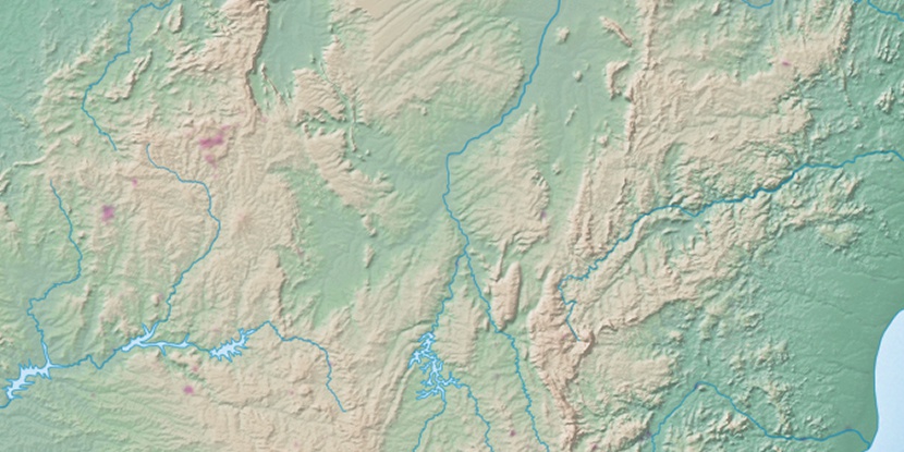
Marker is showing location of Rio São Bartolomeu Environmental Protection Area on map(s). You can click on marker if you want to hide it.
 T: 0.00891 s.
2026 © Location.zone | Terms of use | Contact
 172°
172° 149°
149° 72°
72° 36°
36° 139°
139° 188°
188° 58°
58° 356°
356° 229°
229° 31°
31° 262°
262° 287°
287°