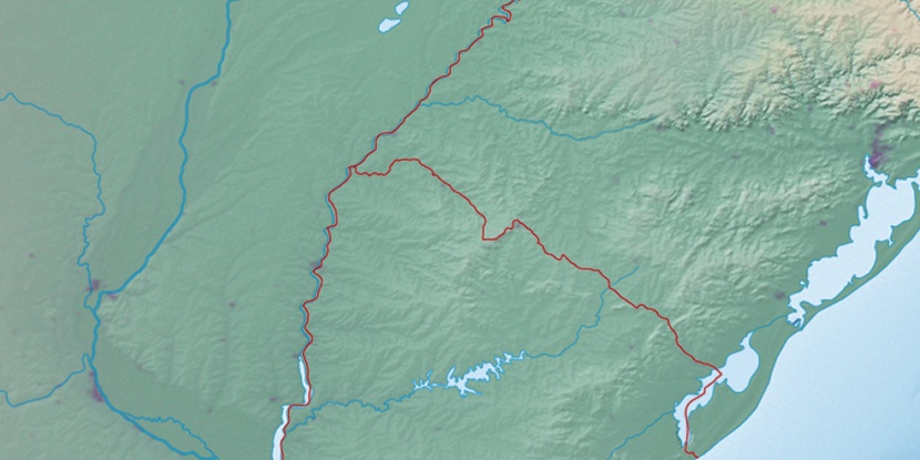
Armour, (railroad stop) is located in Rio Grande do Sul, in Brazil (America). It is placed in GMT-3 time zone with current time of 09:40 AM, Thursday. Offset from your time zone: minutes.
| Latitude | 

|
|
| decimal | -30.86667 | |
| DMS | 30° 52' 0.012" S | |
| Distances from | ||
| North pole | 13439.1 km | |
| Equator | 3432.1 km | |
| South pole | 6575 km | |
| Longitude | 
|
|
| decimal | -55.48333 | |
| DMS | 55° 28' 59.988" W | |
| Distance from prime meridian: 5237.1 km to West |
||
List of nearest places sort by population
Bagé 140.9 km 111°
111° 240°
240° 346°
346° 62°
62° 99°
99° 38°
38° 299°
299° 13°
13° 30°42°

Marker is showing location of Armour on map(s). You can click on marker if you want to hide it.
 T: 0.00981 s.
2026 © Location.zone | Terms of use | Contact
 47°
47° 24°
24° 258°
258° 268°
268° 293°
293°