Sá Pereira, (railroad stop) is located in Pará, in Brazil (America). It is placed in GMT-3 time zone with current time of 06:36 AM, Thursday. Offset from your time zone: minutes.
| Latitude | 

|
|
| decimal | -1.28333 | |
| DMS | 1° 16' 59.988" S | |
| Distances from | ||
| North pole | 10149.8 km | |
| Equator | 142.7 km | |
| South pole | 9864.4 km | |
| Longitude | 
|
|
| decimal | -47.95 | |
| DMS | 47° 57' 0" W | |
| Distance from prime meridian: 5330.1 km to West |
||
List of nearest places sort by population
Ananindeua 47.8 km 258°
258° 114°255°
 335°
335° 64°
64° 100°
100° 10°
10° 306°
306° 352°
352° 202°
202°

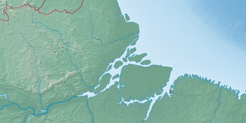
Marker is showing location of Sá Pereira on map(s). You can click on marker if you want to hide it.
 T: 0.01046 s.
2026 © Location.zone | Terms of use | Contact
 176°
176° 167°
167° 141°
141° 117°
117° 252°
252° 213°
213° 37°
37° 51°
51° 282°
282°