Rio Peguá, (stream) is located in Amazonas, in Brazil (America). It is placed in GMT-4 time zone with current time of 08:24 PM, Thursday. Offset from your time zone: minutes.
| Latitude | 

|
|
| decimal | 1.73333 | |
| DMS | 1° 43' 59.988" N | |
| Distances from | ||
| North pole | 9814.3 km | |
| Equator | 192.7 km | |
| South pole | 10199.8 km | |
| Longitude | 
|
|
| decimal | -68.13333 | |
| DMS | 68° 7' 59.988" W | |
| Distance from prime meridian: 7571.8 km to West |
||
List of nearest places sort by population
Fonte Boa 524 km 154°150°
 188°
188° 177°
177° 117°146°175°
 142°124°147°

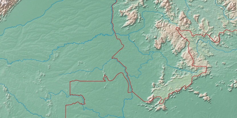
Marker is showing location of Rio Peguá on map(s). You can click on marker if you want to hide it.
 T: 0.05188 s.
2026 © Location.zone | Terms of use | Contact
 100°
100° 132°
132° 106°
106° 49°
49° 58°
58° 254°
254° 283°
283°