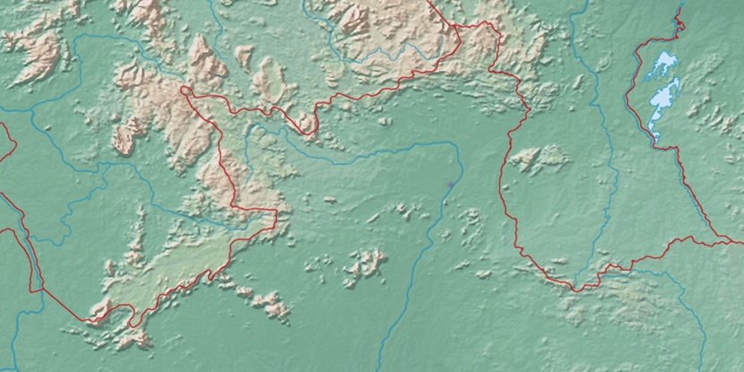
Furo Santa Rosa, (anabranch) is located in Roraima, in Brazil (America). It is placed in GMT-4 time zone with current time of 05:36 AM, Thursday. Offset from your time zone: minutes.
| Latitude | 

|
|
| decimal | 3.36667 | |
| DMS | 3° 22' 0.012" N | |
| Distances from | ||
| North pole | 9632.7 km | |
| Equator | 374.3 km | |
| South pole | 10381.4 km | |
| Longitude | 
|
|
| decimal | -61.36667 | |
| DMS | 61° 22' 0.012" W | |
| Distance from prime meridian: 6810.3 km to West |
||
List of nearest places sort by population
Manaus 734.5 km 168°
168° 128°173°
 164°
164° 238°169°
 199°166°
 217°223°

Marker is showing location of Furo Santa Rosa on map(s). You can click on marker if you want to hide it.
 T: 0.00915 s.
2026 © Location.zone | Terms of use | Contact
 151°
151° 107°
107° 143°
143° 193°
193° 47°
47° 57°
57° 282°
282° 255°
255°