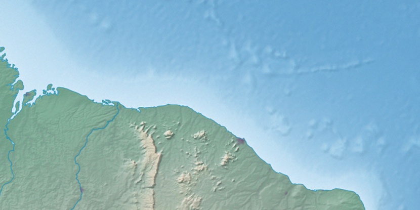
Tamandua, (triangulation station) is located in Ceará, in Brazil (America). It is placed in GMT-3 time zone with current time of 07:45 AM, Thursday. Offset from your time zone: minutes.
| Latitude | 

|
|
| decimal | -3.9 | |
| DMS | 3° 54' 0" S | |
| Distances from | ||
| North pole | 10440.7 km | |
| Equator | 433.6 km | |
| South pole | 9573.4 km | |
| Longitude | 
|
|
| decimal | -39.23333 | |
| DMS | 39° 13' 59.988" W | |
| Distance from prime meridian: 4351.8 km to West |
||
List of nearest places sort by population
Itapipoca 59.2 km 319°
319° 189°
189° 301°
301° 42°
42° 22°
22° 341°
341° 10°
10° 332°315°22°

Marker is showing location of Tamandua on map(s). You can click on marker if you want to hide it.
 T: 0.00891 s.
2026 © Location.zone | Terms of use | Contact
 200°
200° 175°
175° 75°
75° 215°
215° 272°
272° 133°
133° 284°
284° 31°
31° 47°
47° 259°
259°