Chapada da Cangalha, (upland) is located in Tocantins, in Brazil (America). It is placed in GMT-3 time zone with current time of 10:41 AM, Thursday. Offset from your time zone: minutes.
| Latitude | 

|
|
| decimal | -8.17871 | |
| DMS | 8° 10' 43.356" S | |
| Distances from | ||
| North pole | 10916.4 km | |
| Equator | 909.4 km | |
| South pole | 9097.7 km | |
| Longitude | 
|
|
| decimal | -46.75217 | |
| DMS | 46° 45' 7.812" W | |
| Distance from prime meridian: 5142.4 km to West |
||
List of nearest places sort by population
Araguaína 194.3 km 304°
304° 47°
47° 319°320°
 340°
340° 9°12°47°
 139°
139° 160°
160°

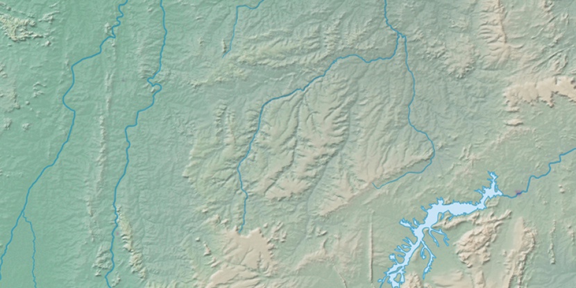
Marker is showing location of Chapada da Cangalha on map(s). You can click on marker if you want to hide it.
 T: 0.01036 s.
2026 © Location.zone | Terms of use | Contact
 179°
179° 166°
166° 120°
120° 61°
61° 188°
188° 291°
291° 89°
89° 345°
345° 221°
221° 34°
34° 40°
40° 260°
260° 284°
284°