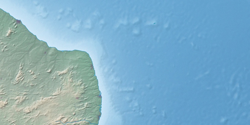
Chapada da Serra Verde, (upland) is located in Rio Grande do Norte, in Brazil (America). It is placed in GMT-3 time zone with current time of 11:46 AM, Thursday. Offset from your time zone: minutes.
| Latitude | 

|
|
| decimal | -5.38333 | |
| DMS | 5° 22' 59.988" S | |
| Distances from | ||
| North pole | 10605.6 km | |
| Equator | 598.6 km | |
| South pole | 9408.5 km | |
| Longitude | 
|
|
| decimal | -35.78333 | |
| DMS | 35° 46' 59.988" W | |
| Distance from prime meridian: 3960.6 km to West |
||
List of nearest places sort by population
Macaíba 71 km 138°
138° 125°
125° 193°
193° 124°
124° 101°132°
 177°
177° 60°
60° 153°142°

Marker is showing location of Chapada da Serra Verde on map(s). You can click on marker if you want to hide it.
 T: 0.01044 s.
2026 © Location.zone | Terms of use | Contact
 209°
209° 202°
202° 301°
301° 228°
228° 275°
275° 161°
161° 287°
287° 28°
28° 36°
36° 45°
45° 259°
259° 76°
76°