Chapada de Covas, (upland) is located in Goiás, in Brazil (America). It is placed in GMT-3 time zone with current time of 06:35 AM, Thursday. Offset from your time zone: minutes.
| Latitude | 

|
|
| decimal | -16.46667 | |
| DMS | 16° 28' 0.012" S | |
| Distances from | ||
| North pole | 11838 km | |
| Equator | 1830.9 km | |
| South pole | 8176.1 km | |
| Longitude | 
|
|
| decimal | -48.36667 | |
| DMS | 48° 22' 0.012" W | |
| Distance from prime meridian: 5144.1 km to West |
||
List of nearest places sort by population
Anápolis 64.4 km 283°
283° 61°
61° 250°
250° 112°
112° 227°230°
 266°
266° 207°
207° 173°
173° 308°
308°

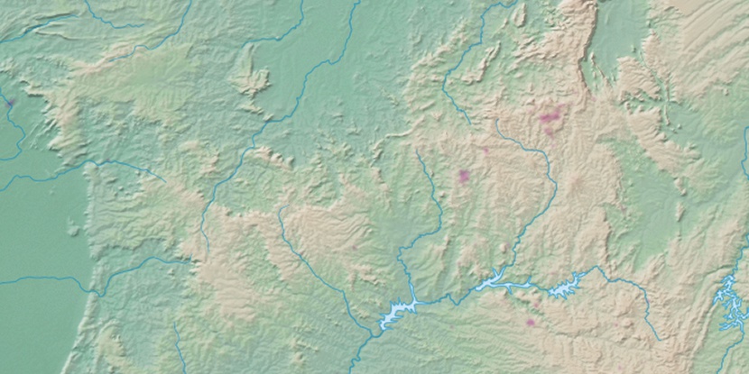
Marker is showing location of Chapada de Covas on map(s). You can click on marker if you want to hide it.
 T: 0.0107 s.
2026 © Location.zone | Terms of use | Contact
 142°
142° 69°
69° 37°
37° 129°
129° 31°
31° 185°
185° 319°
319° 359°
359° 45°
45° 263°
263° 287°
287°