Serra da Longá, (upland) is located in Piauí, in Brazil (America). It is placed in GMT-3 time zone with current time of 11:37 AM, Thursday. Offset from your time zone: minutes.
| Latitude | 

|
|
| decimal | -5.41667 | |
| DMS | 5° 25' 0.012" S | |
| Distances from | ||
| North pole | 10609.3 km | |
| Equator | 602.3 km | |
| South pole | 9404.8 km | |
| Longitude | 
|
|
| decimal | -42.63333 | |
| DMS | 42° 37' 59.988" W | |
| Distance from prime meridian: 4718.2 km to West |
||
List of nearest places sort by population
Teresina 40.9 km 332°327°
 24°
24° 323°
323° 180°
180° 239°
239° 189°
189° 97°
97° 170°
170° 68°
68°

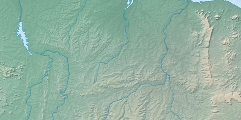
Marker is showing location of Serra da Longá on map(s). You can click on marker if you want to hide it.
 T: 0.01061 s.
2026 © Location.zone | Terms of use | Contact
 151°
151° 206°
206° 197°
197° 277°
277° 108°
108° 304°
304° 222°
222° 32°
32° 39°
39° 47°
47° 259°
259°