Serra da Uruburetama, (upland) is located in Ceará, in Brazil (America). It is placed in GMT-3 time zone with current time of 10:48 AM, Thursday. Offset from your time zone: minutes.
| Latitude | 

|
|
| decimal | -3.66667 | |
| DMS | 3° 40' 0.012" S | |
| Distances from | ||
| North pole | 10414.8 km | |
| Equator | 407.7 km | |
| South pole | 9599.4 km | |
| Longitude | 
|
|
| decimal | -39.66667 | |
| DMS | 39° 40' 0.012" W | |
| Distance from prime meridian: 4401.1 km to West |
||
List of nearest places sort by population
Itapipoca 21.5 km 27°
27° 103°
103° 45°
45° 107°
107° 66°
66° 290°
290° 331°
331° 235°
235° 91°
91° 75°
75°

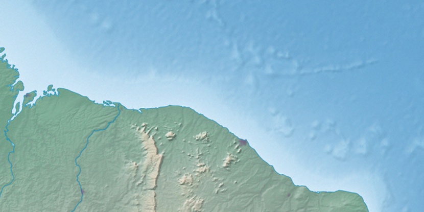
Marker is showing location of Serra da Uruburetama on map(s). You can click on marker if you want to hide it.
 T: 0.01106 s.
2026 © Location.zone | Terms of use | Contact
 198°
198° 190°
190° 173°
173° 213°
213° 271°
271° 132°
132° 284°
284° 224°
224° 38°
38° 259°
259°