Serra de Santa Marta, (upland) is located in Mato Grosso do Sul, in Brazil (America). It is placed in GMT-4 time zone with current time of 11:48 AM, Thursday. Offset from your time zone: minutes.
| Latitude | 

|
|
| decimal | -18.25 | |
| DMS | 18° 15' 0" S | |
| Distances from | ||
| North pole | 12036.3 km | |
| Equator | 2029.2 km | |
| South pole | 7977.9 km | |
| Longitude | 
|
|
| decimal | -53.5 | |
| DMS | 53° 30' 0" W | |
| Distance from prime meridian: 5627.6 km to West |
||
List of nearest places sort by population
Jataí 192.4 km 77°
77° 52°
52° 257°
257° 117°
117° 242°
242° 201°
201° 352°
352° 16°
16° 148°
148° 41°
41°

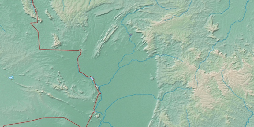
Marker is showing location of Serra de Santa Marta on map(s). You can click on marker if you want to hide it.
 T: 0.01057 s.
2026 © Location.zone | Terms of use | Contact
 129°
129° 69°
69° 100°
100° 337°
337° 60°
60° 225°
225° 34°
34° 288°
288°