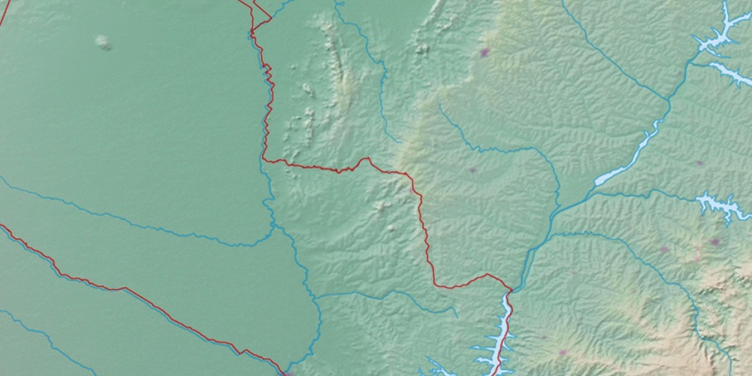
Serra de São Paulo, (upland) is located in Mato Grosso do Sul, in Brazil (America). It is placed in GMT-4 time zone with current time of 11:50 AM, Thursday. Offset from your time zone: minutes.
| Latitude | 

|
|
| decimal | -21.7 | |
| DMS | 21° 42' 0" S | |
| Distances from | ||
| North pole | 12419.9 km | |
| Equator | 2412.8 km | |
| South pole | 7594.2 km | |
| Longitude | 
|
|
| decimal | -57.25 | |
| DMS | 57° 15' 0" W | |
| Distance from prime meridian: 5877.8 km to West |
||
List of nearest places sort by population
Ponta Porã 182.5 km 120°
120° 47°
47° 78°
78° 87°47°121°51°
 29°
29° 270°77°

Marker is showing location of Serra de São Paulo on map(s). You can click on marker if you want to hide it.
 T: 0.01023 s.
2026 © Location.zone | Terms of use | Contact
 100°
100° 63°
63° 351°
351° 22°
22° 225°
225° 40°
40° 264°
264° 290°
290°