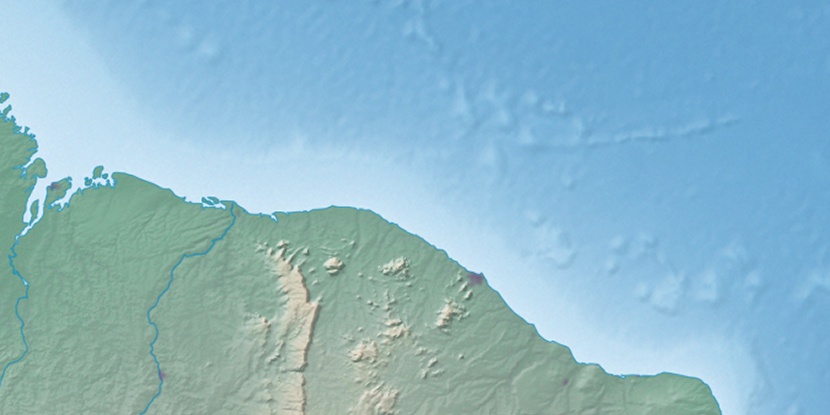
Serra do Camará, (upland) is located in Ceará, in Brazil (America). It is placed in GMT-3 time zone with current time of 12:19 PM, Thursday. Offset from your time zone: minutes.
| Latitude | 

|
|
| decimal | -3.63333 | |
| DMS | 3° 37' 59.988" S | |
| Distances from | ||
| North pole | 10411.1 km | |
| Equator | 404 km | |
| South pole | 9603.1 km | |
| Longitude | 
|
|
| decimal | -39.63333 | |
| DMS | 39° 37' 59.988" W | |
| Distance from prime meridian: 4397.6 km to West |
||
List of nearest places sort by population
Itapipoca 16.6 km 21°
21° 138°
138° 45°
45° 113°
113° 68°
68° 323°
323° 233°
233° 98°
98° 86°73°

Marker is showing location of Serra do Camará on map(s). You can click on marker if you want to hide it.
 T: 0.01069 s.
2026 © Location.zone | Terms of use | Contact
 198°
198° 190°
190° 173°
173° 213°
213° 271°
271° 133°
133° 283°
283° 224°
224° 31°
31° 38°
38° 259°
259° 76°
76°