Serra do Inajá, (upland) is located in Pará, in Brazil (America). It is placed in GMT-3 time zone with current time of 06:34 AM, Thursday. Offset from your time zone: minutes.
| Latitude | 

|
|
| decimal | -9 | |
| DMS | 9° 0' 0" S | |
| Distances from | ||
| North pole | 11007.8 km | |
| Equator | 1000.7 km | |
| South pole | 9006.4 km | |
| Longitude | 
|
|
| decimal | -50.5 | |
| DMS | 50° 30' 0" W | |
| Distance from prime meridian: 5541.2 km to West |
||
List of nearest places sort by population
Palmas 271.2 km 118°
118° 20°
20° 51°
51° 152°
152° 58°
58° 67°
67° 327°61°
 36°
36° 158°
158°

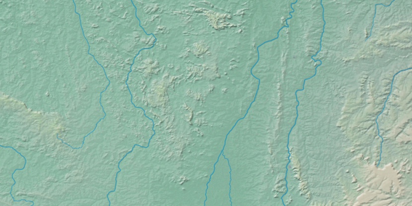
Marker is showing location of Serra do Inajá on map(s). You can click on marker if you want to hide it.
 T: 0.01008 s.
2026 © Location.zone | Terms of use | Contact
 165°
165° 108°
108° 175°
175° 301°
301° 86°
86° 14°
14° 217°
217° 260°
260° 285°
285°