Serra do Mucajaí, (upland) is located in Roraima, in Brazil (America). It is placed in GMT-4 time zone with current time of 07:47 AM, Thursday. Offset from your time zone: minutes.
| Latitude | 

|
|
| decimal | 2.33333 | |
| DMS | 2° 19' 59.988" N | |
| Distances from | ||
| North pole | 9747.6 km | |
| Equator | 259.4 km | |
| South pole | 10266.5 km | |
| Longitude | 
|
|
| decimal | -61.58333 | |
| DMS | 61° 34' 59.988" W | |
| Distance from prime meridian: 6841.1 km to West |
||
List of nearest places sort by population
Manaus 628.7 km 164°
164° 61°
61° 170°159°166°167°
 202°162°
 222°
222° 231°
231°

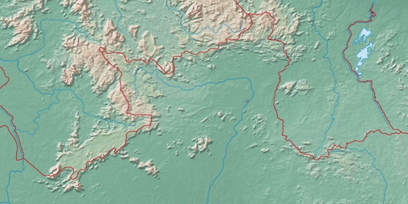
Marker is showing location of Serra do Mucajaí on map(s). You can click on marker if you want to hide it.
 T: 0.01039 s.
2026 © Location.zone | Terms of use | Contact
 150°
150° 144°
144° 123°
123° 104°
104° 111°
111° 193°
193° 46°
46° 255°
255° 282°
282°